Atlas of International Maritime Boundaries 2026
For nearly a decade, cartographers and boundary analysts at International Mapping have been carefully crafting a collection of maritime boundary maps of every established boundary in the world. These maps have been assembled into Sovereign Limits’ Atlas of International Maritime Boundaries: 2026 Edition. The digital Atlas features more than 245 full-color maritime boundary maps, organized into sixteen maritime regions that cover every major maritime area of the world. The Atlas also includes a section on “UNCLOS Illustrated”—a series that visualizes maritime boundary delimitation and zones of entitlement based on the 1982 United Nations Convention on the Law of the Sea. Additionally, the “World Reference Maps” section provides global background information on oceans, marine industry and others.
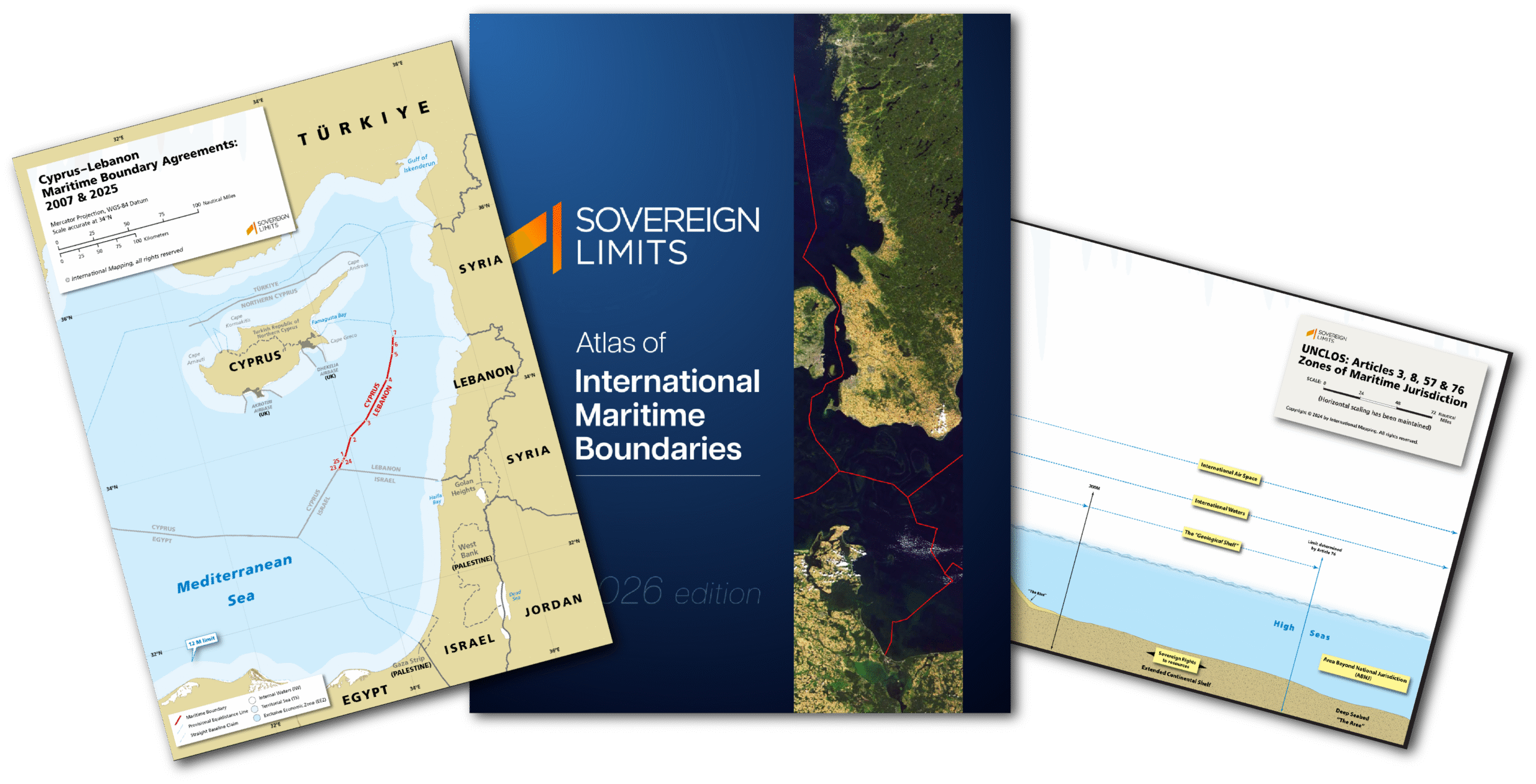
For a sample of the Atlas of International Maritime Boundaries, please visit this link.
$59.95Add to cart